
00 Town of Clarkson Historic Markers
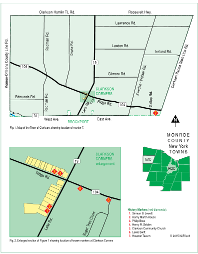
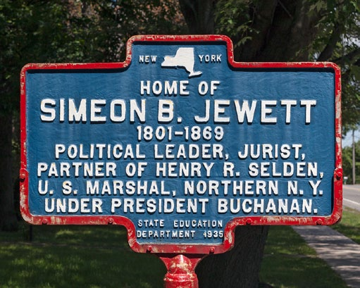
Simeon B. Jewett
3779 Lake Road (street numbers from 1967 Monroe County Historical markers booklet) (Route 19), west side, viewer facing north
Originally placed: 1935
By: Monroe Chapter of D.A.R.
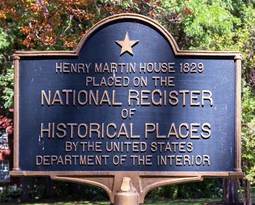
Henry Martin House
3773 Lake Road (Route 19), west side, viewer facing north
Originally placed: ??
By: United States Department of the Interior? (was this actually placed privately?)
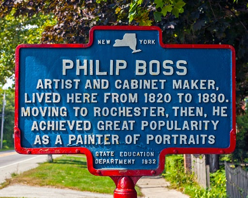
Philip Boss
8412 Ridge Road (street numbers from 1967 Monroe County Historical Markers booklet) (Route 104), north side, viewer facing west
Originally placed: October 1934
By: Monroe Chapter of D.A.R.
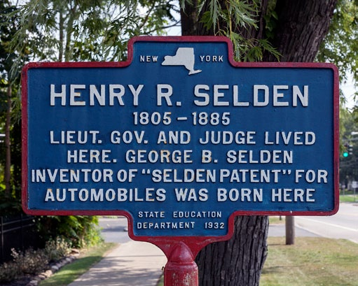
Henry R. Selden
8402 Ridge Road (street numbers from 1967 Monroe County Historical Markers booklet) (Route 104), north side, viewer facing east
Originally placed: October 1934
By: Monroe Chapter of D.A.R.
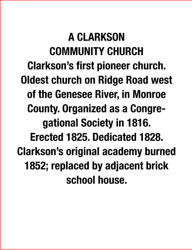
Clarkson Community Church
8339 Ridge Road (Route 104), south side, viewer facing __?
Originally placed: 1979
By: Monroe County
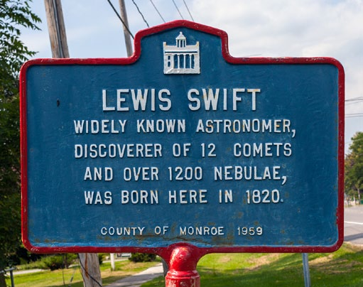
Lewis Swift
8265 Ridge Road (Route 104), south side, viewer facing west
Originally placed: 1959
By: Monroe County
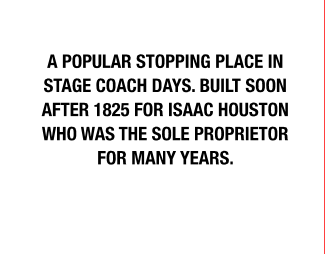
Houston Tavern
7089 Ridge Road (Route 104), south side, viewer facing __?
Originally placed: October 1934
By: Monroe Chapter of D.A.R.
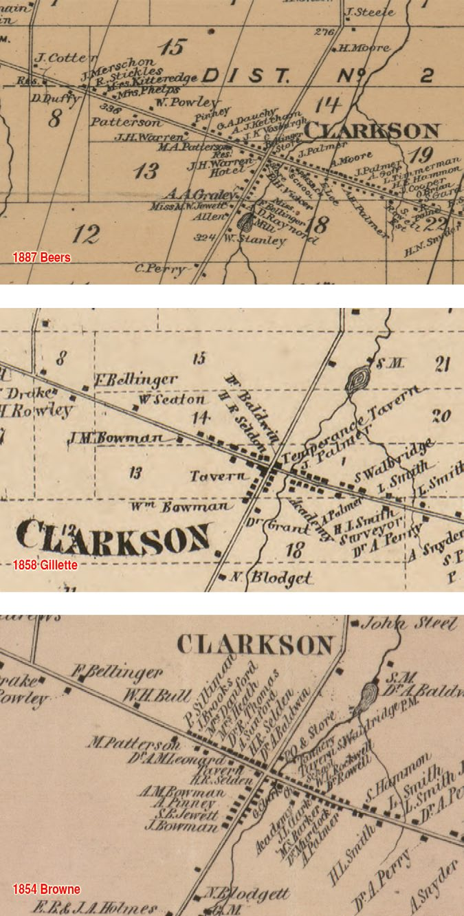
From top to bottom: 1887 Beers Map titled Map of Monroe County, New York from J.B. Beers & Co.; 1858 Gillette map titled Gillette’s map of Monroe Co., New York: from actual surveys from P.J. Browne, John E. Gillette, C.K. Stone and Robert Pearsall Smith, 1827-1898; 1854 Browne map titled Map of Monroe County, New York from P.J. Browne, A.G. Gillet, Robert Pearsall Smith, 1827-1898.
These maps show the intersection of Lake Road (Route 19) and Ridge Road (Route 104) at three different times in early Clarkson history and are shown for the sake of comparison and potential relevance.
Maps shown are small sections of entire Monroe County maps downloaded from the United States Library of Congress web site. The name accompanying the dates in red are the principal author or publisher and have been added by the Museum.
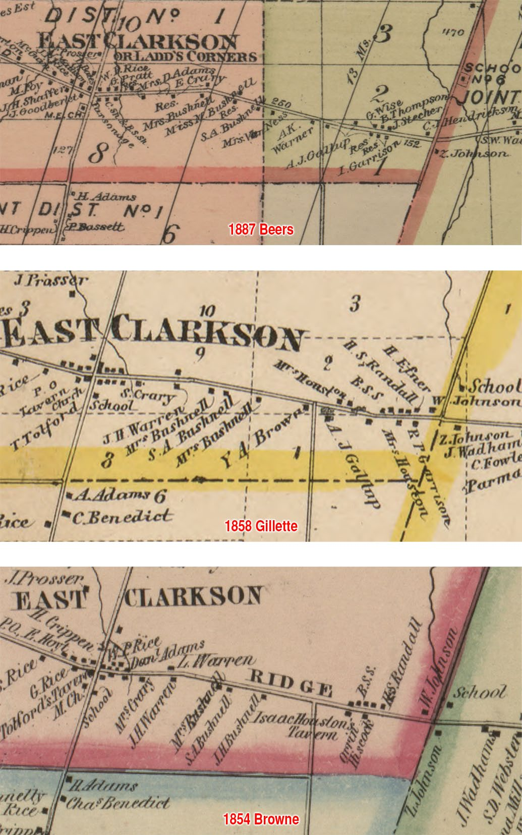
From top to bottom: 1887 Beers Map titled Map of Monroe County, New York from J.B. Beers & Co.; 1858 Gillette map titled Gillette’s map of Monroe Co., New York: from actual surveys from P.J. Browne, John E. Gillette, C.K. Stone and Robert Pearsall Smith, 1827-1898; 1854 Browne map titled Map of Monroe County, New York from P.J. Browne, A.G. Gillet, Robert Pearsall Smith, 1827-1898.
These maps show the intersection of Lake Road (Route 19) and Ridge Road (Route 104) at three different times in early Clarkson history and are shown for the sake of comparison and potential relevance.
Maps shown are small sections of entire Monroe County maps downloaded from the United States Library of Congress web site. The name accompanying the dates in red are the principal author or publisher and have been added by the Museum.